Study And Monitoring of Active African Volcanoes by InSAR
DURATION: 2005-2008 (4 years)
PARTICIPANTS:
Royal Museum for Central Africa, Tervuren, Belgium (F. Kervyn, C. Wauthier, B. Smets)
National Museum of Natural History, Walferdange, Luxembourg (N. d’Oreye)
Instituto de Astronomia y Geodesia, CSIC, Madrid, Spain (J. Fernandez)
Dar es Salaam University, Tanzania (E. Mbede)
Dept. of Geology, Ghent University, Belgium (G. Ernst)
Dept. of Geology and Environmental Science, University of Buea, Cameroon (S. Ayonghe)
Geological Survey of Tanzania, Tanzania (A. Mruma)
Instituto Nacional de Meteorologia e Geofisica de Cabo Verde, Cape Verde (B. Faria)
Instituto Superior Tecnico, Lisbon, Portugal (J. Fonseca)
Laboratoire Magmas et Volcans, Blaise Pascal University, Clermont-Ferrand, France (V. Cayol)
Laboratory of Engineering Geology, University of Liège, Belgium (E. Pirard, C. Wauthier)
Goma Volcano Observatory, Democratic Republic of Congo ( B. Bajope, J. Durieux)
SUPPORT
– Belgian Science Policy (Belspo)
– ESA CAT-1 project n°3224
DESCRIPTION
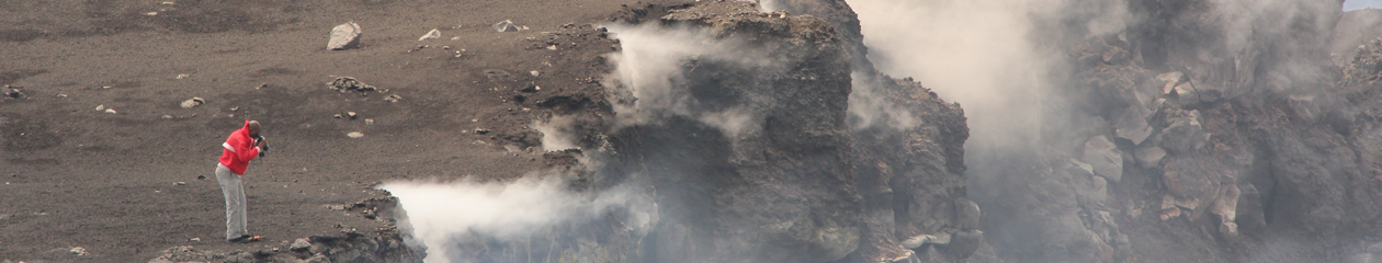
This project aims at studying and monitoring the volcanic or volcano-tectonic activity in 4 volcanic zones of Africa, using satellite radar interferometry (InSAR). Studied volcanoes are Mt Cameroon (Cameroon), Nyiragongo and Nyamulagira (DR Congo), Ol Doinyo Lengai (Tanzania), and Fogo (Cape Verde). Those are amongst the most active volcanoes in Africa, although their monitoring was often limited and, sometimes, inexistent.
InSAR is a method that makes use of two or more radar images to compute surface deformation maps. It is known to be an efficient technique for ground deformation monitoring providing that favorable conditions are met. It allows indeed monitoring at low cost remote areas and provides a large amount of measurements points over broad regions.
Although the Synthetic Aperture Radar (SAR) sensor operates in all weather conditions, and night and days, InSAR suffers from the difficulty to operate in vegetated area, which is very often the case in equatorial regions, and especially on high lands and fertile volcanoes. As demonstrated by the SAMAAV project, a possible way to (at least partly) overcome the vegetation-induced decorrelation is to increase the number of SAR acquisitions. This increases the chances of producing interferograms with favorable small temporal and spatial baselines.
Since 2005, all possible data acquired over these targets by the ENVISAT satellite (from the European Space Agency) were systematically programmed for a given set of orbital geometries and look angles. The data are processed using an automated procedure developed in Luxembourg, at the National Museum of Natural History. This mass processing produces thousands of deformation maps (in cm), phase interferograms, coherence maps and amplitude images. The results are available in radar geometry or as geo-referenced images. A web-based tool was developed for visualizing and sharing the rapidly increasing number of interferograms and related products. This allowed analyzing various eruptions and earthquakes (e.g. eruptions in Congo and Tanzania, Earthquake in Kivu, atmospheric artifacts in Cape Verde and Cameroon, etc.).