Page Content
—
_______________________________
1. Some definitions
A disaster, i.e., an unforeseen and often sudden event that causes great destruction and human suffering, is the result of the spatial conjunction of a hazard and vulnerable stakes (i.e., people, assets, lifelines, activities) in a given place and time (Leone and Lesales, 2009; Pigeon, 2002). The probability of occurrence of a disaster is the risk. Risk assessment requires an in-depth study of the different types of hazards through their magnitude, their frequency, their duration, their mechanism and their intensity. But, as Wisner et al. (2004) explain, such knowledge, while necessary, is far from sufficient for calculating the actual level of risk. The analysis of the vulnerability, i.e., the susceptibility of elements at stake to suffer from damages if a given hazard occurred, is as crucial with natural phenomena (D’Ercole and Pigeon, 1999; Dollfus and D’Ercole, 1996; Cutter et al., 2003; Dauphiné, 2003; Wisner et al., 2004; Leone and Lesales, 2009).
Vulnerability is a complex variable commonly defined as a combination of “exposure to perturbations” and “adaptive capacity or resilience” of the vulnerable systems considered.
- The exposure is the degree of loss to a given element or set of elements at risk (UNDRO, 1982). It is the susceptibility of people, infrastructures and buildings with respect to a hazard (social vulnerability). It focuses mainly on land use, and on demographic and socio-economic factors that increase or attenuate the impacts of hazards events on local populations.
- The resilience of the individual, the household, the community, is its adaptive capacity to absorb disturbance and reorganise into a fully functioning system by anticipation, response, adaptation and recovery. The vulnerability level is high when the resilience is low.
—
2. Vulnerability in the Goma region
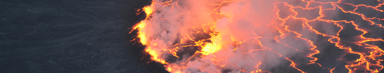
As previously mentioned, Nyamulagira and especially Nyiragongo threaten the population of Goma city and its surroundings. Goma is a strategic economic centre for the Great Lakes region, located at the border with Rwanda. Its population is growing rapidly, not only because a sustained demographic growth, but also due to the recurrent high number of internally displaced people, fleeing conflicts taken opposing several groups of rebels. As a consequence, eruptive events might lead to a large disaster.
The vulnerability assessment of Goma city facing volcanic hazards is currently in progress within the framework of the GeoRisCA project (Belgian Science Policy, project SD/RI/02A; Michellier et al., 2016). To develop a realistic vulnerability assessment in this area, classical methodologies must be adapted to local reality, which include the scarcity of data. Although major vulnerability assessment methodologies suggest using a large range of data (Cutter et al., 2003; Hahn and Villagrán De Leon Ria Hidajat, 2003; Glade and van Elverfeldt, 2006; Lancaster University, 2007; Abson et al., 2012; Bignami et al., 2012; Kienberger, 2012; Yoon, 2012; Birkmann et al., 2013; Malcomb et al., 2014), within GeoRisCA, the choice is made to look for few significant factors in accordance with data constraints the countries of interest meet.
Exploited strategic elements are (Michellier et al., 2016):
- The population and its needs (size of the population, education, health, leisure, heritage, culture)
- Urban infrastructures (water supply, food, electricity, fuels, telecommunications, transport), of which some are essential in case of crisis
- Economy and politico-administrative management (business, land value, administrations)
- Decision-making and crisis management centers (for the period of crisis)
- Population support (medical care and shelters)
In addition, specific factors influencing the vulnerability were pointed out by local scientists and institutions (Michellier et al., 2016):
- Displaced population due to war and insecurity: An individual or household recently arrived in a city will not necessarily be aware of the existing risk distribution.
- Land conflict: Sometimes associated with the scarcity of available land, this factor may strongly influence the vulnerability.
- Waste management: the lack of appropriate policy for waste management induces a negative pressure on the urban environment and public infrastructures (e.g., air and water pollution, public and waste water pipe obstructions, etc.)
- Petrol stations: During the disaster related to the 2002 flank eruption of Nyiragongo, about two thirds of fatalities were associated with the explosion of a petrol station. It was not a direct consequence of the lava flow, but rather a careless action of the population who attempted to extract the petrol from an abandoned tank located close to the lava flow. Since then, and despite this tragic event, the number of petrol stations has dramatically increased in Goma.
- International border: The eastern part of Goma ends with the border between the D.R. Congo and Rwanda. This border can act as an additional strategic element in case of evacuation. Strained relationships between Congo and Rwanda might indeed not facilitate cooperation in case of disaster.
—
3. Cited references
Abson, D.J., Dougill, A.J., Stringer, L.C. 2012. Using principal component analysis for information-rich socioecological
vulnerability mapping in Southern Africa. Applied Geography, 35(1), 515–524.
Bignami, C., Bosi, V., Costantini, L., Cristiani, C., Lavigne, F., Thierry, P., 2012. Handbook for volcanic risk management—prevention, crisis management, resilience. MIAVITA Project—European Commission under the 7th Framework Programme for Research and Technological Development, Orleans, France.
Birkmann, J., Cardona, O.D., Carreno, M.L., Barbat, A.H., Pelling, M., Shneiderbauer, S., Kienberger, S., Keiler, M., Alexander, D., Zeil, P., Welle, T., 2013. Framing vulnerability, risk and societal responses: the MOVE framework. Natural Hazards 67, 193–211.
Cutter SL, Boruff BJ, Shirley WL (2003) Social vulnerability to environmental hazards. Social Science Quarterly 84(2), 242–261.
Dauphiné, A., 2003. Risques et catastrophes: Observer, spatialiser, comprendre, gérer. Armand Colin, Paris.
D’Ercole, R., Pigeon, P., 1999. L’expertise internationale des risques dits naturels. Annales de Géographie 108, 339–357.
Dollfus, O., D’Ercole, R., 1996. Les mémoires des catastrophes au service de la prévision et de la prévention des risques naturels. In: Bailly, A. (Ed.), Risques naturels, risques de sociétés. Economica, Paris, 103 pp.
Glade, T., van Elverfeldt, K., 2006. MultiRISK: An innovative concept to model natural risks. In: Hungr, O., Fell, R., Couture, R., Eberhardt, E. (Eds.), Landslide Risk Management. Taylor and Francis Group, London, 776 pp.
Hahn, H., Villagrán De Leon Ria Hidajat, J. C., 2003. Indicators and other disaster risk management instruments for communities and local governments. Eschborn, Deutsche Gesellschaft für Technische Zusammenarbeit GTZ, Eschborn.
Kienberger, S. 2012. Spatial modelling of social and economic vulnerability to floods at the district level in Búzi, Mozambique. Natural Hazards, 64(3), 2001–2019.
Lancaster University, 2007. Armonia: applied multi risk mapping of natural hazards for impact assessment. Lancaster University.
Leone, F., Lesales, T., 2009. The interest of cartography for a better perception and management of volcanic risk: from a scientific to social representations. Journal of Volcanology and Geothermal Research 186(3–4), 186–194.
Malcomb, D.W., Weaver, E.A., Richmond Krakowka, A., 2014. Vulnerability modeling for sub-Saharan Africa: an operationalized approach in Malawi. Applied Geography 48, 17–30.
Michellier, C., Pigeon, P., Kervyn, F., Wolff, E., 2016. Contextualizing vulnerability assessment: a support to geo-risk management in central Africa. Natural Hazards 82, 27–42.
Pigeon, P., 2002. Réflexions sur les notions et les méthodes en géographie des risques dits naturels. Annales de Géographie 111(627), 452–470.
UNDRO, 1982. Shelter after Disaster: Guidelines for Assistance. UN Disaster Relief Co-ordinator, New York, U.N., 82 pp.
Wisner. B., Blaikie, P., Cannon, T., Davis, I., 2004. At Risk: Natural hazards, people’s vulnerability and disasters. Routledge, London, 470 pp.
Yoon, D.K. 2012. Assessment of social vulnerability to natural disasters: a comparative study. Natural Hazards 63, 823–843.